FILE SIZE: 300 mb
About it:
From Pole to Pole this stunning interactive 3D World Atlas is a complete concise and exciting way to explore the world. Featuring over half a million mapped locations 3D World Atlas provides a level of detail to satisfy even the most demanding researcher. Discover in-depth geographical information on natural disasters landscape formation and global climate. Or read comprehensive articles and statistics for almost 200 countries with overviews that cover politics media crime history and more!
Key Features:
- Hot links lead you to helpful geographic information
- Flat maps rendered as 3D globes.
- Unique ‘horizon view of
- Shows latitude and longitude co-ordinates
- Measure distance between two or more locations.
- Mark and label your favorite locations.
- Print or copy maps* text and graphics.
- Supports school curriculum (grades 3-4)
Maps:
- GENERAL: Illustrates borders* with over 400*000 town and city names.
- SATELLITE: Shows international borders and physical features.
- PHYSICAL: Shows the forces that shape the Earth's surface.
- BI O-GEOGRAPHIC: Shows the Earth's biometry.
- EARTH BY NIGHT: Shows a satellite view of lights from cities across the world.
System requirements:
* Windows 98, ME, 2000, XP
* 200 MHz Pentium
* 64 MB RAM
* 800 x 600, 16 bit color screen
* Printer (optional)
SCREENSHOTS:

![]()
This image has been resized. Click this bar to view the full image. The original image is sized 950x498. 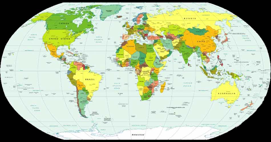
![]()
This image has been resized. Click this bar to view the full image. The original image is sized 905x546. 
Download links:http://rapidshare.com/files/174738213/3D_World_Atlas__2008_.part1.rar
http://rapidshare.com/files/174738227/3D_World_Atlas__2008_.part2.rar
http://rapidshare.com/files/174738204/3D_World_Atlas__2008_.part3.rar
Sunday, August 2, 2009
World atlas - 2008
FILE NAME: World atlasplanet Earth
Code:
Subscribe to:
Post Comments (Atom)
NoTiCeS

1.Waiting for lab exams.


0 comments:
Post a Comment